
Destinations/Phuket
Destination · Andaman SeaPhuket
One island, many places to live. Explore the neighbourhoods, the distances and everyday life – before you decide.
Photo: Phuket@photographer.net · CC BY 2.0
Thailand’s largest island: beaches in the west, the capital in the south-east, the airport in the north.
Depending on the source, Phuket is about 48–50 km long and 21–22 km wide. A road bridge links it to the mainland. Where you live therefore shapes your everyday life a great deal – and how long your journeys are.
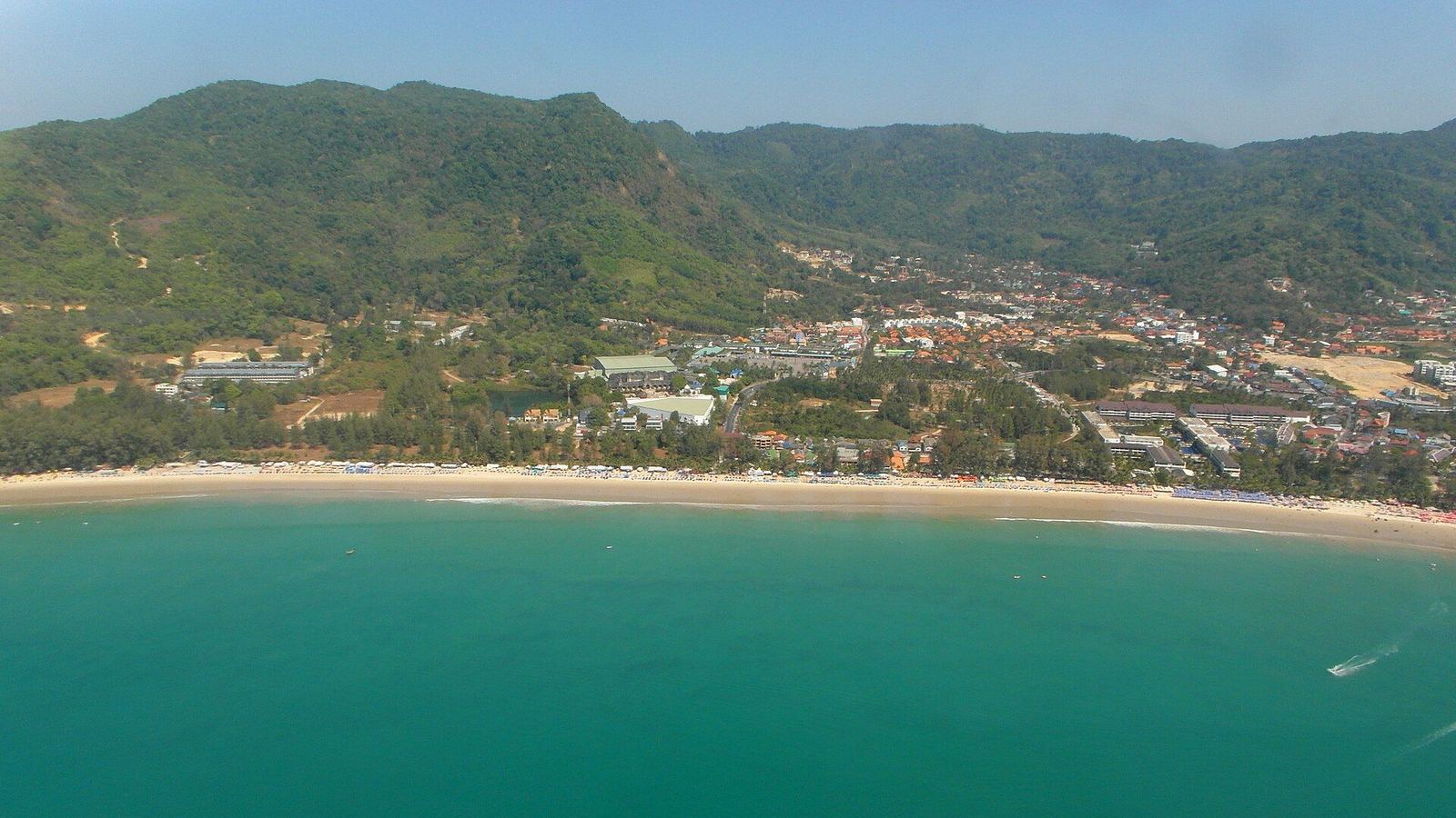
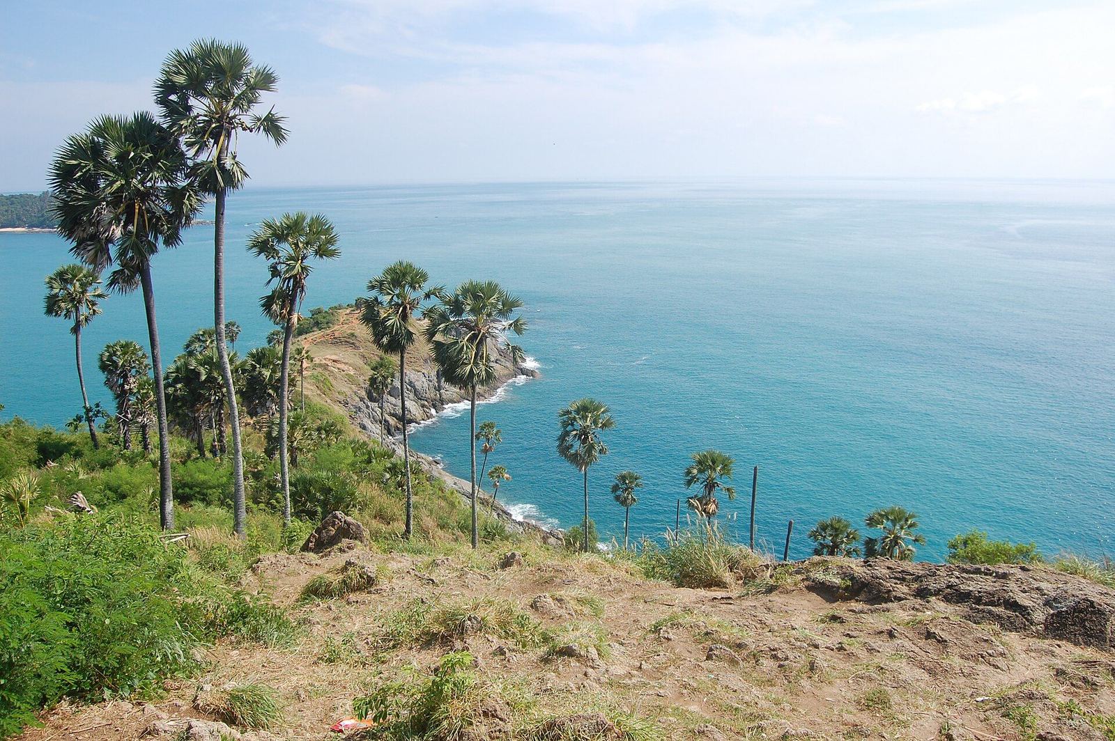
On seasons: Wikipedia gives December–March as the dry season, German Wikivoyage November–April as high season, English Wikivoyage the summer monsoon as May–October. The sources do not fully agree; for west-coast beaches expect rough seas and red flags from June to November (Phuket 101).
Explore the neighbourhoods
Pick a neighbourhood. You see character, beaches, realities and – from the verified places on this page – what is nearby.
Layan
Layan is the quiet bay at the northern end of Bang Tao Beach. It is where the villas and apartments we show are located.
Atmosphere & daily life
Sources describe a natural, little-commercialised beach with pale sand, casuarina trees and a small stream running to the sea. Cafés and restaurants are mostly in the wider Layan–Bang Tao–Laguna area rather than on the beachfront itself. Without a car or motorbike you will not get far.
Who may feel at home here
Our reading of the sources: people who value quiet and greenery and want a beach without the bustle. In return, distances to shops and restaurants are longer.
Beaches & things to see
- Layan Beach – Phuket 101 rates conditions as excellent.
- Bang Tao Beach to the south, Banana Beach (about 3 km) and Nai Thon (about 7 km) nearby.
- Layan Beach Viewpoint; the small island of Ko Katha lies about 0.5 km offshore.
Good to know – including the realities
- Swim only when the sea is calm: November–April is generally calmer, May–October brings stronger south-west monsoon waves. Unclear currents can occur near the stream mouth.
- Facilities on the beach are limited; according to Phuket 101 only one beach restaurant remains open.
- Sources disagree on whether the beach lies inside Sirinat National Park – we are happy to clarify this for a specific project.
Nearby (driving time from the area centre)
International schools
Shopping
Supermarkets
Hospitals
Restaurants & cafés
Connections
Driving times: OSRM (OpenStreetMap road data), without traffic, from the centre point of the area – an estimate, not a timetable. Only places we have verified; the list is not exhaustive.
Bang Tao / Laguna
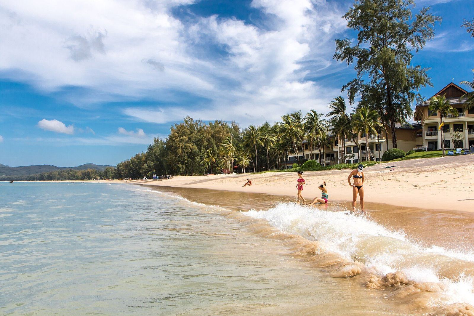
A wide, open bay on the north-west coast, about 6–7 km long depending on the source. A large part belongs to the Laguna Phuket resort complex, built on former tin-mining land.
Atmosphere & daily life
The Cherng Talay area has a growing number of villas and mid-range hotels, plus the Boat Avenue shopping and dining street (with a Friday evening market) and the Porto de Phuket mall. Laguna runs a shuttle boat and an open-air trolley bus between its hotels, the golf course and Canal Village.
Who may feel at home here
Our reading of the sources: people who want an active, well-served everyday life with resort infrastructure (golf, beach clubs, supermarkets) but not Patong’s nightlife.
Beaches & things to see
- Bang Tao Beach – Phuket 101 says the northern half has calmer swimming in the November–April high season; the northern part is shaded by casuarina trees.
- Four beach clubs according to Phuket 101 (Casuarina, Catch, Carpe Diem, Xana).
- Surin Beach lies to the south, about a 15-minute walk along the road.
Good to know – including the realities
- Phuket 101 names traffic in the Cherng Talay area as a drawback.
- In May 2026 officials seized about 5 rai of public beach land and 16 venues/structures at Bang Tao for encroachment; beachfront restaurants south of SAii Laguna were closed (The Thaiger).
- Wikivoyage notes the beaches within Laguna are not patrolled and there is no nightlife comparable to Patong; few taxis enter the Laguna complex (older, undated text).
Nearby (driving time from the area centre)
International schools
Shopping
Supermarkets
Hospitals
Restaurants & cafés
Connections
Driving times: OSRM (OpenStreetMap road data), without traffic, from the centre point of the area – an estimate, not a timetable. Only places we have verified; the list is not exhaustive.
Also within reach
Driving time between the area centres is 20 minutes or less (OSRM, no traffic).
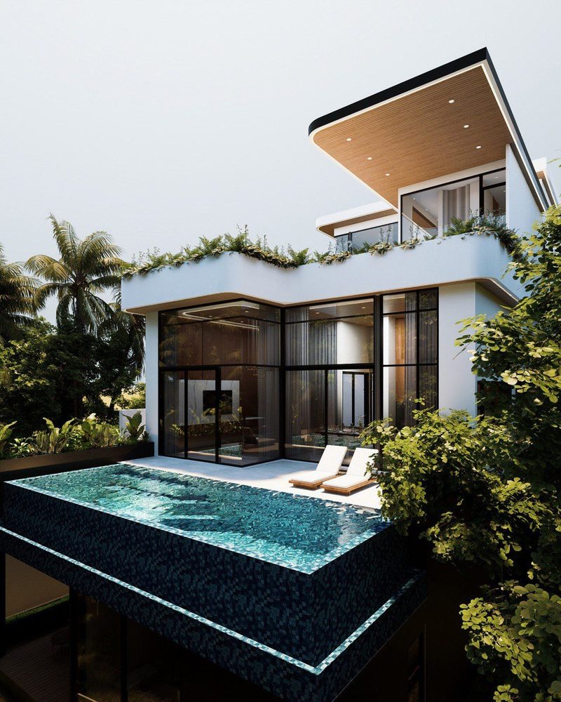 Off-planVisualisation
Private Pool Villas
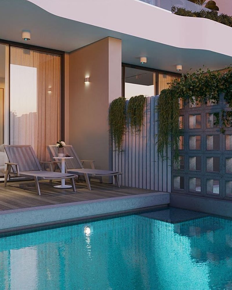 Move-in ready
Apartments with Pool
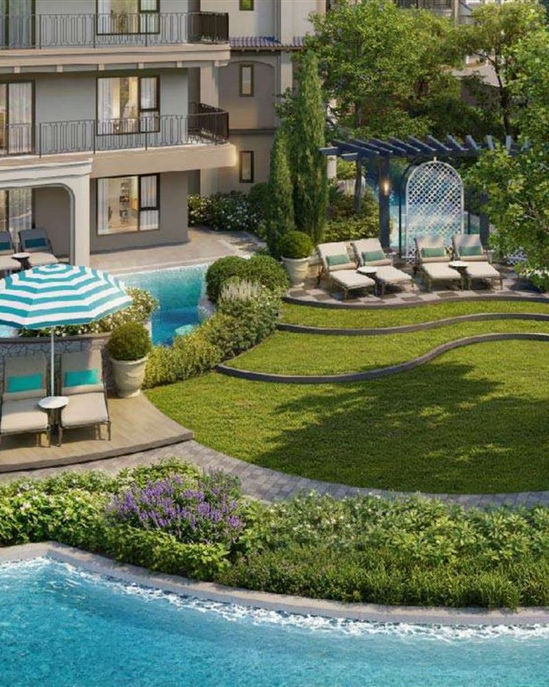 Off-planVisualisation
Design Apartments in Kamala
We have no project here at the moment.
We are happy to note your wishes for Bang Tao / Laguna and check whether we can find something suitable – without obligation.
Surin
A small beach of pale sand between Bang Tao to the north and Kamala to the south, about 800 m long. High-end villas stand on the hills above the bay.
Atmosphere & daily life
Wikivoyage describes a village atmosphere that is changing as housing and hotel projects are built. There is a 7-Eleven and a few mini-marts; restaurants line the street behind the beach. Since the clearance in May 2025 there are no vendors or beach clubs on the beach itself.
Who may feel at home here
Our reading of the sources: people looking for one of Phuket’s quieter beaches who plan to have a vehicle for errands.
Beaches & things to see
- Surin Beach – steeply sloping; calm and suitable for children in high season, rougher with red flags in low season.
- Pansea Bay to the north (with two luxury resorts).
- Laem Singh, a small bay (about 300 m) between Kamala and Surin.
Good to know – including the realities
- Wikivoyage warns Surin can be dangerous in the monsoon season because of the steeply sloping beach; parts are marked off with floats.
- On 15 May 2025 officials removed illegal beachfront restaurants, bars and sunbed rentals on public land (The Thaiger). Older descriptions with beach restaurants are out of date.
- The nearest larger supermarket is not in the village itself; plan to drive.
Nearby (driving time from the area centre)
International schools
Shopping
Supermarkets
Hospitals
Restaurants & cafés
Connections
Driving times: OSRM (OpenStreetMap road data), without traffic, from the centre point of the area – an estimate, not a timetable. Only places we have verified; the list is not exhaustive.
Also within reach
Driving time between the area centres is 20 minutes or less (OSRM, no traffic).
Off-planVisualisationDesign Apartments in Kamala
Off-planVisualisationPrivate Pool Villas
Move-in readyApartments with Pool
We have no project here at the moment.
We are happy to note your wishes for Surin and check whether we can find something suitable – without obligation.
Kamala
A beach and village on the west coast, north of Patong and immediately south of Surin. The beach is 2–3 km long depending on the source.
Atmosphere & daily life
Wikivoyage counts Kamala among the quieter places on the west coast: the southern end can be busy in high season, the northern end stays calm all year. Small hotels, mini-markets, souvenir shops, many small seafood restaurants on the beach and Thai restaurants on the main street shape the picture.
Who may feel at home here
Our reading of the sources: people who want a relaxed beach life with a village feel but with Patong close by for larger shopping.
Beaches & things to see
- Kamala Beach – soft pale sand with casuarina and coconut trees; calm and clear in high season.
- Streams and fishing boats at the south end; the north and centre are the more attractive parts.
- Phuket FantaSea: evening cultural theme park and show (opened 1999). Temple at the south end, tsunami memorial park mid-beach.
Good to know – including the realities
- From June to November the sea has rough waves and rip currents; stay out of the water when red flags are flying (Phuket 101).
- Kamala was severely damaged by the 26 December 2004 tsunami (Wikipedia).
- The airport is about 22–24 km away according to Phuket 101; below we calculate driving times ourselves with OSRM.
Nearby (driving time from the area centre)
International schools
Shopping
Supermarkets
Hospitals
Restaurants & cafés
Connections
Driving times: OSRM (OpenStreetMap road data), without traffic, from the centre point of the area – an estimate, not a timetable. Only places we have verified; the list is not exhaustive.
Properties in this area
Kata / Karon
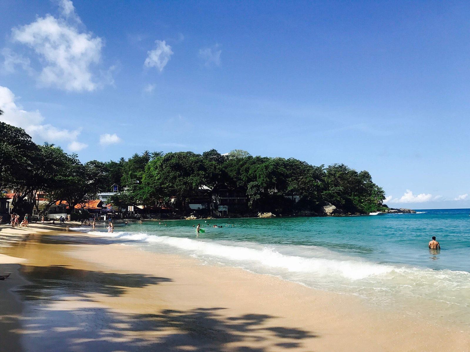
Two beach towns on the south-west coast: Karon to the north (about 3 km of beach) and Kata, with Kata Yai and the smaller Kata Noi, directly to the south.
Atmosphere & daily life
According to Wikipedia, Karon is generally quieter than Patong and popular with families and couples; Wikivoyage describes Kata as more family-oriented and more peaceful than Patong. Karon has supermarkets, convenience stores and pharmacies; Kata has a night market (daily 14:00–23:00) and a local market on Thursdays.
Who may feel at home here
Our reading of the sources: people who want well-developed beach infrastructure and many restaurants and accept somewhat more activity. The airport distance is the largest on the west coast.
Beaches & things to see
- Karon Beach – white sand, about 3 km; wide pedestrian/cycle path on the road side, coral reef at the southern point.
- Kata Yai (Kata Beach) and the smaller Kata Noi, reached over a hill.
- Karon Viewpoint over Kata Noi, Kata and Karon; the Big Buddha near Chalong (45 m, construction began 2004).
Good to know – including the realities
- Strong rip currents: Phuket 101 names May–October (Karon) and June–November (Kata); Wikivoyage mentions ten deaths at Karon in 2009. Follow red flags.
- At 43–48 km, both are farther from the airport than the north-west coast.
- Phuket 101 calls Kata second only to Patong in popularity – less crowded, but busy.
Nearby (driving time from the area centre)
International schools
Shopping
Supermarkets
Hospitals
Restaurants & cafés
Connections
Driving times: OSRM (OpenStreetMap road data), without traffic, from the centre point of the area – an estimate, not a timetable. Only places we have verified; the list is not exhaustive.
We have no project here at the moment.
We are happy to note your wishes for Kata / Karon and check whether we can find something suitable – without obligation.
Rawai
A seafront village at Phuket’s southern tip, much less touristy than Kata and Patong. Rawai is its own sub-district municipality in Mueang Phuket district.
Atmosphere & daily life
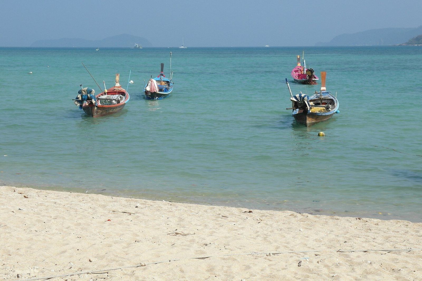
Phuket 101 describes Rawai as popular with long-stay visitors and expats looking for a quieter area, with an expat community since the 1990s. You buy fresh fish and seafood from stalls and have it cooked at restaurants across the road (charged by weight). Boats to the nearby islands leave from here.
Who may feel at home here
Our reading of the sources: people who want to live somewhere quieter long-term and do not need a swimming beach on the doorstep; a motorbike or car is practically a must.
Beaches & things to see
- No swimming beach in Rawai itself: boats moor along the shore and tides are pronounced.
- Nai Harn (about 2 km): soft sand, clear water, one of the best swimming spots in the south in high season – crowded in December/January.
- Ya Nui, a small beach; Promthep Cape with lighthouse and shrine, known for sunsets.
Good to know – including the realities
- Rawai is spread out; Wikivoyage highly recommends a motorbike.
- At about 46 km it is the farthest of the areas shown from the airport.
- Ya Nui: swimming is discouraged during the monsoon (crashing surf).
Nearby (driving time from the area centre)
International schools
Shopping
Supermarkets
Hospitals
Restaurants & cafés
Connections
Driving times: OSRM (OpenStreetMap road data), without traffic, from the centre point of the area – an estimate, not a timetable. Only places we have verified; the list is not exhaustive.
We have no project here at the moment.
We are happy to note your wishes for Rawai and check whether we can find something suitable – without obligation.
Phuket Town
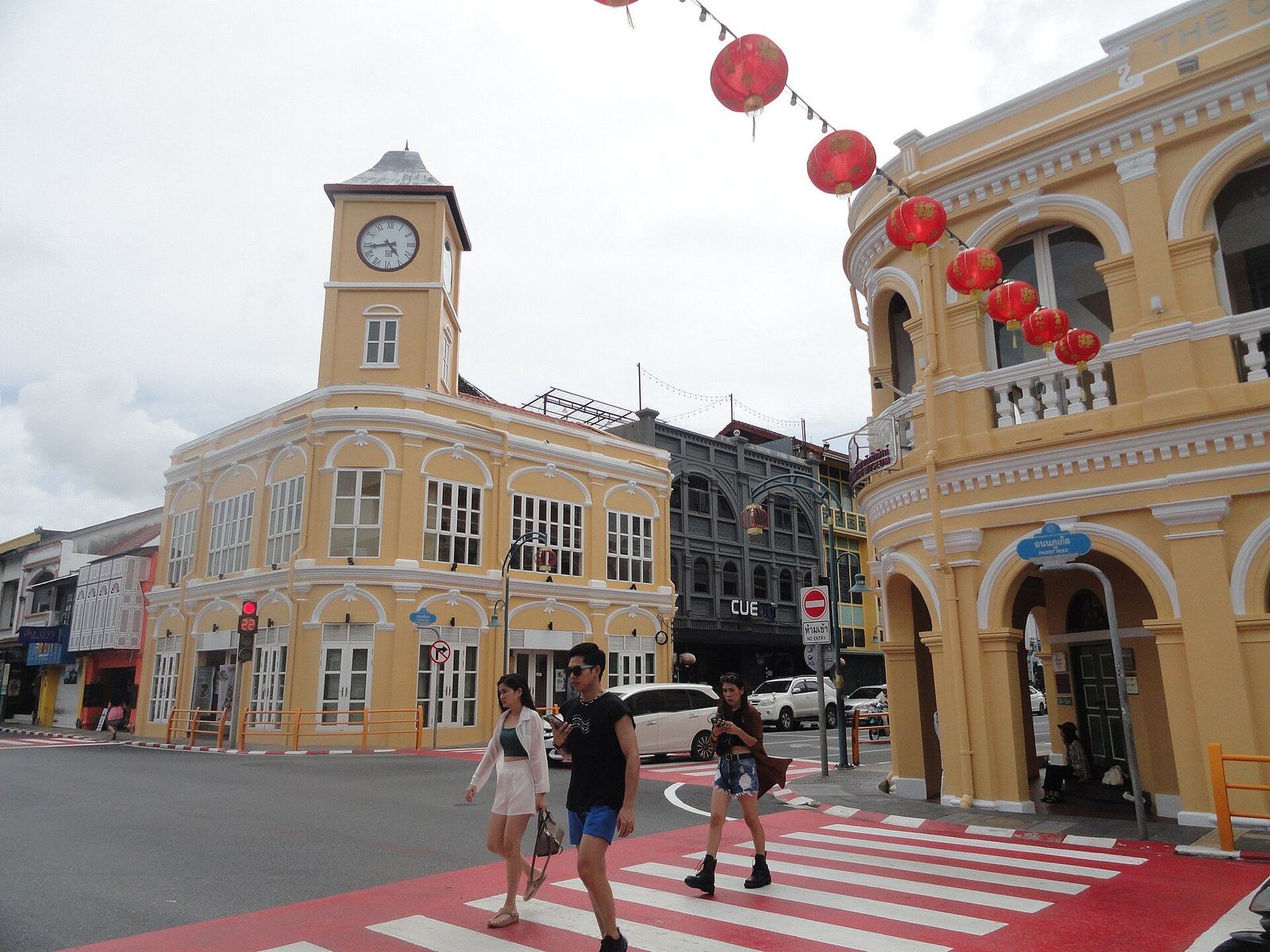
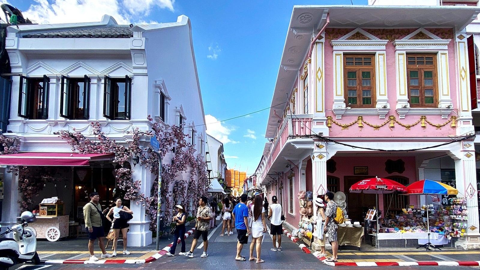
The provincial capital in the south-east of the island. Not a beach resort but the economic hub, with an Old Town of Sino-Portuguese buildings from the tin-mining era.
Atmosphere & daily life
Phuket has been a UNESCO Creative City for Gastronomy since 2015. The Old Town can be explored on foot in a few hours (Phuket 101): Thalang Road with its Sunday Walking Street, Soi Romanee, cafés. Shopping includes Central Phuket and several hypermarkets. According to Wikivoyage, lodging and food are cheaper than at the beaches.
Who may feel at home here
Our reading of the sources: people who want a year-round lively everyday life with clinics, markets and authorities close by – and are happy to drive about 14–15 km to a beach.
Beaches & things to see
- No beaches in town; the nearest are Patong, Karon and Kata (about 14–15 km).
- Old Town: shophouses on Thalang, Dibuk, Phang Nga, Krabi and Yaowarat roads; Put Jaw Temple (over 200 years old); Thai Hua Museum.
- Khao Rang hill viewpoint on the north-west edge of town.
Good to know – including the realities
- According to older Wikivoyage text the town is a little too big to cover comfortably on foot, with limited public transport (motorbike taxis, tuk-tuks), plus the free “Dragon Line” bus in the Old Town.
- No beach in town; seaside life requires a drive.
Nearby (driving time from the area centre)
International schools
Shopping
Supermarkets
Hospitals
Restaurants & cafés
Connections
Driving times: OSRM (OpenStreetMap road data), without traffic, from the centre point of the area – an estimate, not a timetable. Only places we have verified; the list is not exhaustive.
We have no project here at the moment.
We are happy to note your wishes for Phuket Town and check whether we can find something suitable – without obligation.
The map that actually helps
Choose a neighbourhood and categories. Every place is individually verified (OpenStreetMap plus official sources). Distances are measured from the centre of the chosen neighbourhood – our projects are only shown at area level.
Map: coastline and place data © OpenStreetMap contributors (ODbL). Driving times and routes: OSRM demo server (OpenStreetMap data), free flow without traffic. Map library: Leaflet (BSD-2). No third-party map tiles are loaded.
Your life here – for whom?
Choose what matters to you. The ranking of neighbourhoods comes from driving times to the verified places on this page – not from gut feeling, and not from advertising.
Living on Phuket with children
For families the key points are the school run, medical care and everyday shopping. The schools on the map follow international curricula; fees, places and admission requirements need to be clarified with the schools directly.
- The international schools are spread out – the school run is a criterion for choosing where to live.
- Private hospitals with emergency departments exist on the island; distance matters in an emergency.
- Family activities (aquarium, parks, beaches with calm water in high season) are spread across a few places.
Neighbourhoods by these criteria
- 1RawaiSchool ≈ 3 min · Hospital ≈ 8 min · Supermarket ≈ 1 minView neighbourhood
- 2Phuket TownSchool ≈ 7 min · Hospital ≈ 4 min · Supermarket ≈ 6 minView neighbourhood
- 3Kata / KaronSchool ≈ 11 min · Hospital ≈ 9 min · Supermarket ≈ 8 minView neighbourhood
- 4KamalaSchool ≈ 19 min · Hospital ≈ 11 min · Supermarket ≈ 2 minView neighbourhood
How we calculate: for each criterion we use the driving time (no traffic, OSRM) from the area centre to the nearest verified place in that category. The rank is the average of the individual ranks – a pointer, not a recommendation. Your everyday life matters more than any table.
A holiday home for a few weeks a year
If you are only there part of the year, beach, airport and dining matter most. Important: if you are not on site yourself, someone needs to look after the property – we discuss this openly.
- High season runs roughly November to April; outside it the west-coast sea is often rough.
- The north-west coast is closest to the airport, the south considerably farther.
- Beach venues are subject to official clearances (Surin 2025, Bang Tao 2026) – what is on offer can change.
Neighbourhoods by these criteria
- 1SurinBeach ≈ 1 min · Airport ≈ 27 min · Restaurant ≈ 2 minView neighbourhood
- 2LayanBeach ≈ 1 min · Airport ≈ 19 min · Restaurant ≈ 16 minView neighbourhood
- 3KamalaBeach ≈ 1 min · Airport ≈ 33 min · Restaurant ≈ 4 minView neighbourhood
- 4Bang Tao / LagunaBeach ≈ 1 min · Airport ≈ 26 min · Restaurant ≈ 13 minView neighbourhood
How we calculate: for each criterion we use the driving time (no traffic, OSRM) from the area centre to the nearest verified place in that category. The rank is the average of the individual ranks – a pointer, not a recommendation. Your everyday life matters more than any table.
Living quietly, well looked after
For a longer stay, healthcare, shopping and quiet matter most. Note that buying property alone does not generally give a right of residence – see our guide.
- The sources describe Layan, Surin, the northern part of Kamala and Rawai as quieter.
- Several of the verified hospitals are around Phuket Town / Chalong; the north-west has fewer.
- Without your own vehicle many areas are only partly served.
Neighbourhoods by these criteria
- 1Phuket TownHospital ≈ 4 min · Supermarket ≈ 6 min · Mall ≈ 6 minView neighbourhood
- 2RawaiHospital ≈ 8 min · Supermarket ≈ 1 min · Mall ≈ 11 minView neighbourhood
- 3SurinHospital ≈ 14 min · Supermarket ≈ 6 min · Mall ≈ 6 minView neighbourhood
- 4Kata / KaronHospital ≈ 9 min · Supermarket ≈ 8 min · Mall ≈ 9 minView neighbourhood
How we calculate: for each criterion we use the driving time (no traffic, OSRM) from the area centre to the nearest verified place in that category. The rank is the average of the individual ranks – a pointer, not a recommendation. Your everyday life matters more than any table.
Matching properties
Considering it as an investment
We make no promises about returns or value growth. Instead of a ranking we show what to check before any purchase and which properties are available with which characteristics.
- Ownership for foreigners: condos as freehold within the 49% foreign quota; villas and land usually via leasehold or a company structure – check with independent legal advice.
- Resale and rentability depend on project, location and market and are not guaranteed.
- Clarify running costs (management, taxes) and taxation in your country of residence in advance.
- Market research: compare location, access to the airport and services, developer track record and contract details.
Matching properties
Areas where we have projects are shown first.
Moving for good
Moving permanently means you need everything: school or work, healthcare, shopping, connections. This selection combines the main everyday criteria. Residency questions (visas) are clarified with the relevant authorities.
- Check visa categories separately – a property purchase alone is generally not enough.
- Everyday services are densest in and around Phuket Town and in Bang Tao / Laguna (from the verified places).
- Plan a trial stay on site before buying.
Neighbourhoods by these criteria
- 1Phuket TownSchool ≈ 7 min · Hospital ≈ 4 min · Supermarket ≈ 6 min · Mall ≈ 6 minView neighbourhood
- 2RawaiSchool ≈ 3 min · Hospital ≈ 8 min · Supermarket ≈ 1 min · Mall ≈ 11 minView neighbourhood
- 3Kata / KaronSchool ≈ 11 min · Hospital ≈ 9 min · Supermarket ≈ 8 min · Mall ≈ 9 minView neighbourhood
- 4SurinSchool ≈ 18 min · Hospital ≈ 14 min · Supermarket ≈ 6 min · Mall ≈ 6 minView neighbourhood
How we calculate: for each criterion we use the driving time (no traffic, OSRM) from the area centre to the nearest verified place in that category. The rank is the average of the individual ranks – a pointer, not a recommendation. Your everyday life matters more than any table.
Matching properties
How you get around
Distances on Phuket are different from what the map suggests. Choose two places; the driving times are estimates from OpenStreetMap road data (OSRM) without traffic, and real journeys can take considerably longer.
From Phuket airport
| Neighbourhood | Driving time (estimate) | Distance |
|---|---|---|
| Layan | ≈ 18 min | 14 km |
| Bang Tao / Laguna | ≈ 24 min | 17 km |
| Surin | ≈ 26 min | 22 km |
| Kamala | ≈ 31 min | 27 km |
| Phuket Town | ≈ 38 min | 31 km |
| Kata / Karon | ≈ 49 min | 44 km |
| Rawai | ≈ 55 min | 46 km |
Sources sometimes quote slightly different figures (e.g. Phuket 101 and Wikivoyage); ours are calculated and do not replace a transfer timetable. Public option: Phuket Smart Bus route 1 runs from the airport along the west coast to Rawai (flat 100 baht, hourly 08:15–23:30 according to the operator and Phuket 101; as of May 2026).
Daily life – honestly looked at
A property is only one part. What counts is how everyday life feels. Here is what we can say reliably – with advantages and drawbacks.
Groceries & supermarkets
The island has major chains (Big C, Lotus’s, Tops, Villa Market) and wholesalers such as Makro. Imported goods are mainly found at Villa Market and Tops; in smaller towns 7-Eleven and mini-marts cover everyday needs.
International education
Phuket has several international schools with British, American or IB curricula. The map (category “International schools”) shows exactly which, with distances from your chosen area.
Healthcare
The island has several private hospitals (including Bangkok Hospital Phuket and Phuket International Hospital) and public ones. The map shows the verified locations with driving time from your chosen area.
Transport
Most people ride a motorbike or drive. Ride-hailing apps (Grab, Bolt) are listed by Wikivoyage; blue songthaews run from Phuket Town to the beaches (cheap, but daytime only). Phuket Smart Bus route 1 links the airport with the west coast as far as Rawai.
Family activities
Beaches with calm water in high season, an aquarium, water parks, evening shows and small theme parks – the map shows the verified places.
Dining & cafés
From seafood on the beach and Thai restaurants on the main streets to the cafés of Phuket Old Town: the range is wide. The map shows only venues we have verified.
Fitness & wellness
Golf (e.g. Laguna Golf Phuket), muay Thai gyms in Rawai and Chalong, marinas and beach sports. The map lists the verified facilities.
Weekends & day trips
Boats to nearby islands leave from Rawai, Chalong and Rassada; from Rassada, ferries run to Ko Phi Phi, Krabi and Ko Lanta. Phuket Town has its Sunday evening Walking Street.
Local life
Phuket has a long-established international community, particularly in Rawai, Kamala, Bang Tao and Phuket Town; alongside it are Chao Leh (Urak Lawoi) villages and the Sino-Thai Old Town culture. UNESCO has named Phuket a Creative City for Gastronomy since 2015.
Practical points for foreigners
Foreigners can buy condos as freehold (within the 49% quota); villas and land follow other structures. A property purchase alone does not generally confer residency rights. Details in the guide.
Our projects on Phuket
We currently show projects in Layan and Kamala. Prices, availability and details are on the property pages.
Phuket in mind? Let’s talk about it.
Start your enquirySources & credits
We only write what we can back up. Individual statements come from Wikivoyage (CC BY-SA), Wikipedia, Phuket 101 and the operators themselves; opinions (“may suit”) are our reading of these sources. Data checked on 1 November 2026.
Photos
- Promthep Cape: Phuket@photographer.net · CC BY 2.0 · Wikimedia Commons
- Cherng Talay: Максим Улитин · CC BY 3.0 · Wikimedia Commons
- Bang Tao: Anton Zelenov · CC BY-SA 4.0 · Wikimedia Commons
- Surin Beach: Jpatokal · CC BY-SA 4.0 · Wikimedia Commons
- Kamala Beach: Jules Antonio · CC BY-SA 2.0 · Wikimedia Commons
- Kamala: Roma Neus · CC BY 3.0 · Wikimedia Commons
- Kata Beach: Jacek Lesniowski · CC BY-SA 3.0 · Wikimedia Commons
- Kata Beach: HutheMeow · CC BY-SA 4.0 · Wikimedia Commons
- Laem Phromthep: edwin.11 · CC BY 2.0 · Wikimedia Commons
- Rawai Beach: Wolfgang Holzem · CC BY-SA 4.0 · Wikimedia Commons
- Soi Romanee: Slleong · CC0 · Wikimedia Commons
- Phuket Old Town: Ryomaandres · CC BY-SA 4.0 · Wikimedia Commons
- Phuket Town: Supanut Arunoprayote · CC BY 4.0 · Wikimedia Commons
Map & routing
Map: coastline and place data © OpenStreetMap contributors (ODbL). Driving times and routes: OSRM demo server (OpenStreetMap data), free flow without traffic. Map library: Leaflet (BSD-2). No third-party map tiles are loaded.
Sources by neighbourhood
Layan
Bang Tao / Laguna
Surin
- https://en.wikivoyage.org/wiki/Surin_(Southern_Thailand)
- https://en.wikivoyage.org/wiki/Phuket
- https://www.phuket101.net/surin-beach/
- https://thethaiger.com/news/phuket/phuket-reclaims-surin-beach-from-illegal-occupiers
- https://thethaiger.com/news/phuket/Officials-clear-vendors-four-Phuket-beaches
- https://de.wikipedia.org/wiki/Laem_Sing_(Phuket)
Kamala
Kata / Karon
- https://en.wikivoyage.org/wiki/Karon
- https://en.wikivoyage.org/wiki/Kata
- https://en.wikipedia.org/wiki/Karon_Beach
- https://en.wikipedia.org/wiki/Hat_Kata_Noi
- https://en.wikipedia.org/wiki/Hat_Kata
- https://en.wikipedia.org/wiki/Phuket_Big_Buddha
- https://www.phuket101.net/karon-beach/
- https://www.phuket101.net/kata-beach/
- https://de.wikipedia.org/wiki/Ko_Phuket
- https://phuketsmartbus.com/th/about
Rawai
Phuket Town
- https://en.wikipedia.org/wiki/Phuket_(city)
- https://en.wikipedia.org/wiki/Phuket_Old_Town
- https://en.wikivoyage.org/wiki/Phuket_Town
- https://de.wikivoyage.org/wiki/Phuket_(Provinz)
- https://www.phuket101.net/old-phuket-town/
- https://www.phuket101.net/phuket-town/
- https://phuket101.net/how-to-ride-phuket-bus
- https://www.unesco.org/en/creative-cities/phuket
Island
- https://en.wikipedia.org/wiki/Phuket_province
- https://de.wikipedia.org/wiki/Ko_Phuket
- https://en.wikipedia.org/wiki/Phuket_International_Airport
- https://de.wikivoyage.org/wiki/Phuket_(Provinz)
- https://en.wikivoyage.org/wiki/Phuket
- https://phuket101.net/how-to-ride-phuket-bus
- https://phuketsmartbus.com/th/about